Property inspection service
See the land before you book the flight
You found a property that looks promising, but is it worth the flight?
Our experts travel to the property you have spotted. They assess it on the ground and deliver a complete dossier so you make decisions based on reality, not listing photos.


What you receive
Written field report
Ecological assessment, forest quality, access conditions, discrepancies with the seller's listing, and overall conservation potential.
Custom property map
Points of interest, forest cover, water sources, access routes, and any relevant boundary observations all mapped and annotated.
Edited drone video
Professionally edited aerial footage of the property, delivered within 10 business days of the site visit.
How it works
1. You share the listing
Send us the link, address, contact, or cadastral reference of the property you are considering. We confirm availability and provide a quote based on location and size.
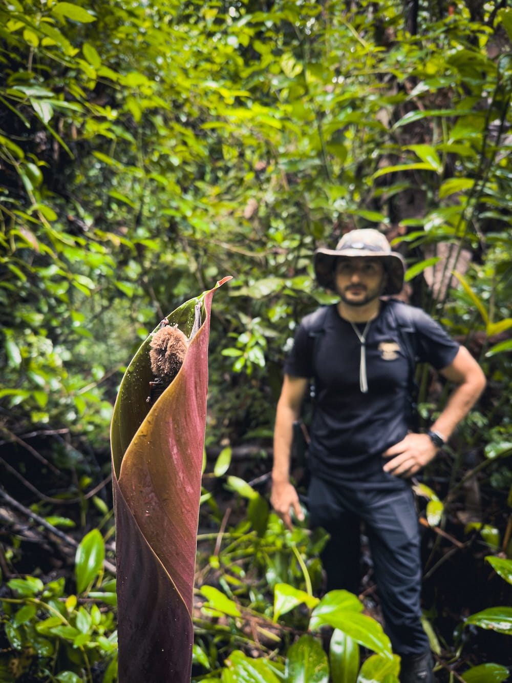
2. Our team visits the property
A Buy Wild expert travels to the property and conducts a full day of terrain assessment: forest quality, biodiversity indicators, access, water, and any red flags not visible in the listing.
Our expert also meets with the owners directly to learn the history of the land, understand their reasons for selling, and gather information that rarely appears in a listing.
3. You receive your report
Within 10 business days you receive the written report, the custom map, and the edited drone video. Everything you need to decide whether to board the plane.
Pricing
- Full day on the ground
- Written property assessment
- Custom annotated map
- Edited drone video
- Delivery within 10 business days
This service covers field assessment only. It does not include legal due diligence (title verification, cadastral review, liens, or encumbrances). Legal due diligence is available as a separate service through our partner attorneys .
- Recommended for properties over 100 ha
- Remote or multi-zone properties
- No additional production fees